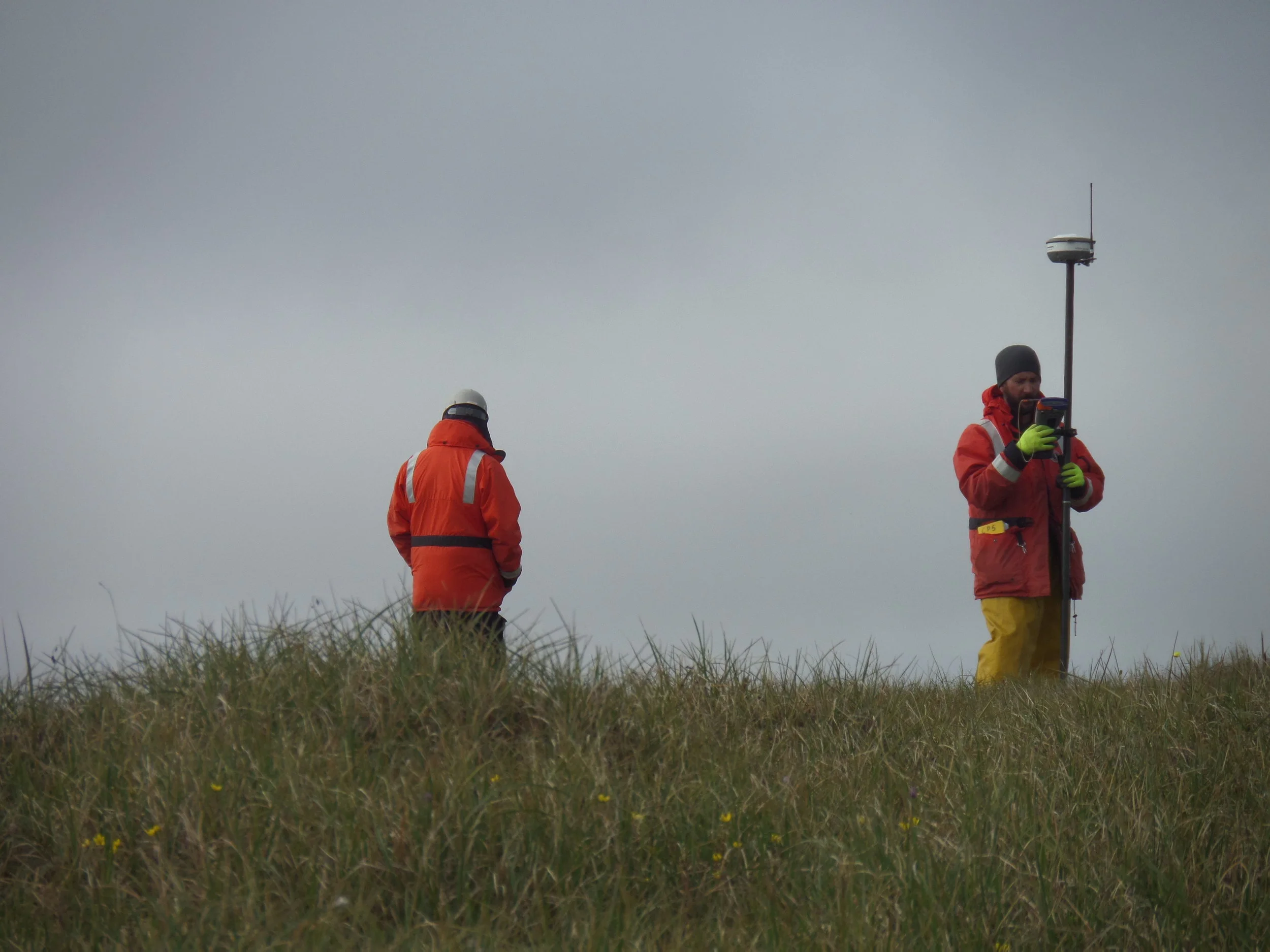
For many coastal projects, the acquisition and analysis of representative data provide the cornerstone upon which a successful outcome is built. At Coastal Frontiers, our field programs are conducted by the same engineers who use the data to solve practical problems. Our capabilities include the measurement and analysis of wind, wave, water level, and current data; the acquisition of bathymetric, side scan sonar, and magnetometer data; and the collection of water and sediment samples.


