

BEACH PROFILE SURVEYS
Clients: U.S. Army Corps of Engineers, Los Angeles District; Counties of Los Angeles, Orange, San Diego, Santa Barbara, and Ventura; Cities of Carlsbad, Encinitas, Long Beach, Newport Beach, San Clemente, and Solana Beach
Regional Authorities: BEACON, SANDAG; North Slope Borough; Southern California Edison; Members of the Petroleum Industry
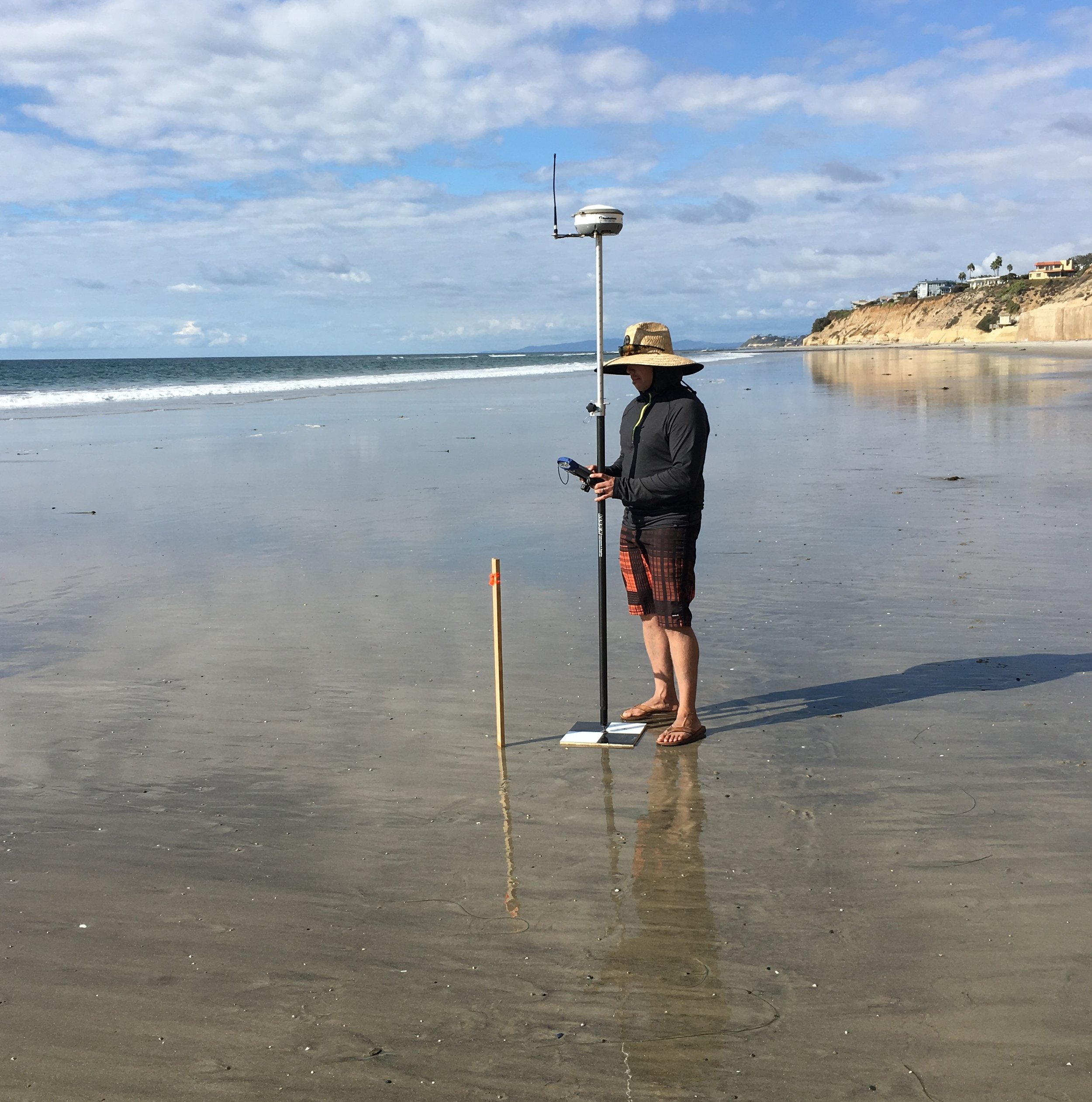
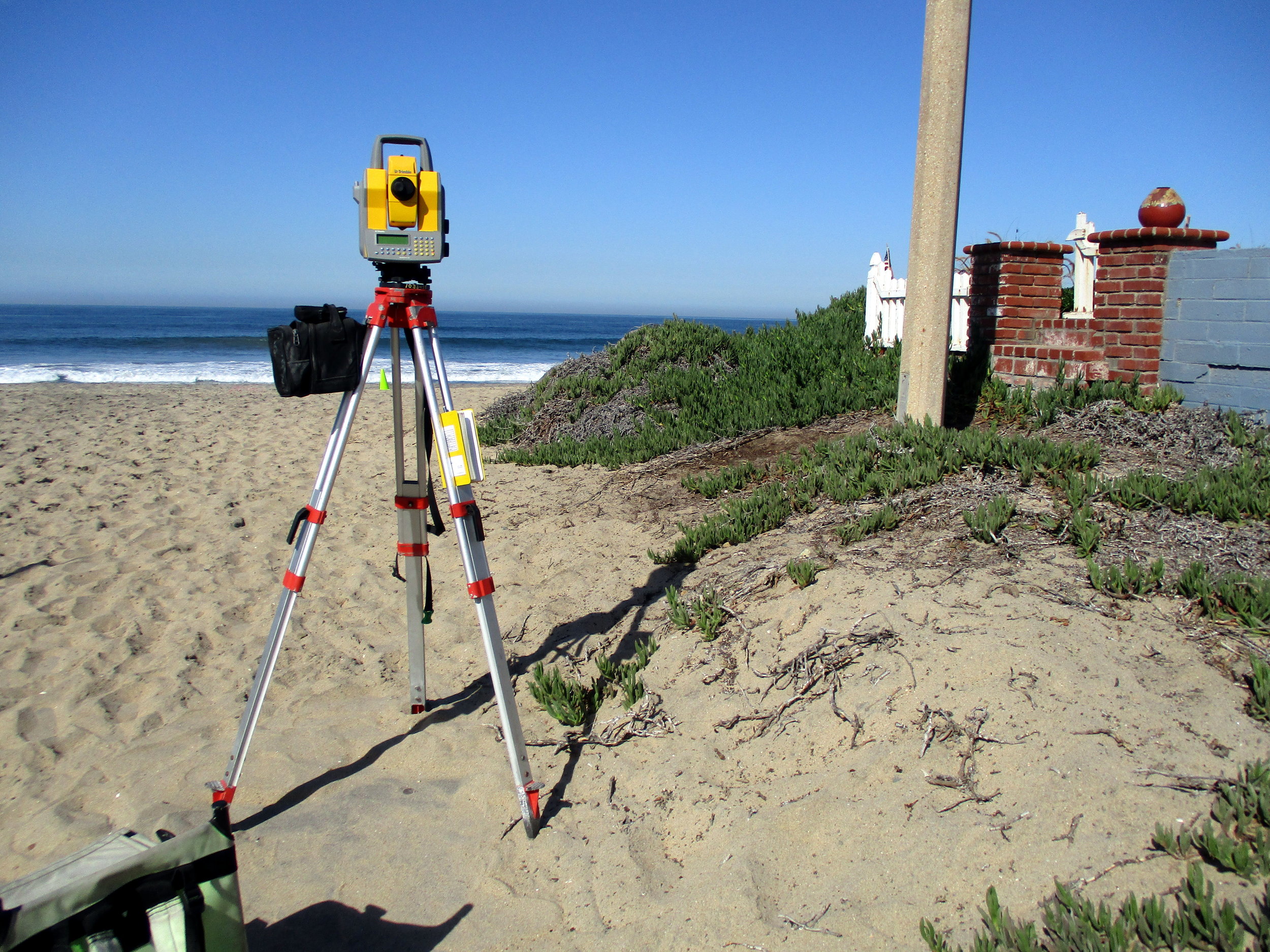
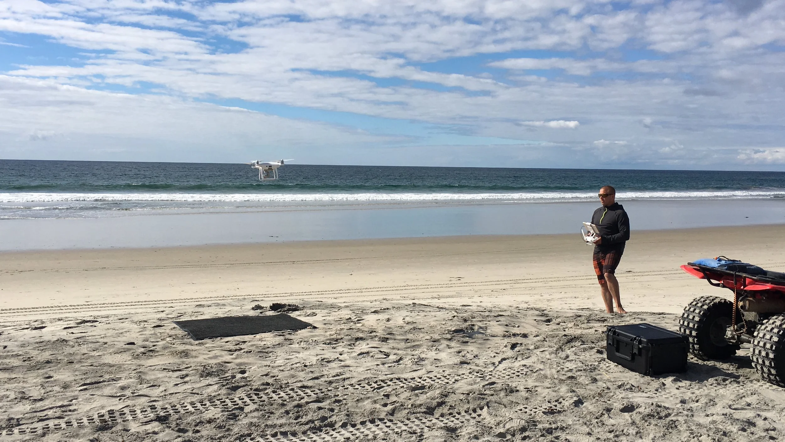
Since 1986, Coastal Frontiers personnel have performed beach profile surveys to quantify changes in shoreline position and beach volume. Much of the work has taken place in Southern California between Santa Barbara and the U.S. - Mexico border where the profiling effort has been repeated on a semi-annual basis to document seasonal changes at the end of the winter and summer wave periods. Surveys also have been undertaken in remote locations that include Alaska and Siberia.
To accurately portray the condition of the beach, continuous data must be obtained from the backshore to the depth of profile closure. Particular challenges arise in the surf zone where both vessels and swimmers must confront breaking waves and acoustic echo sounders are rendered useless by aeration in the water column. Our survey methods typically include enhanced wading techniques and surf-tolerant inflatable vessels to insure data overlap in this critical region.
Typical Survey Objectives
Quantify changes in shoreline position and shorezone volume
Establish the depth of profile closure
Establish baseline conditions prior to initiating beach nourishment or structural stabilization projects
Monitor the effectiveness of beach nourishment projects and the impacts of coastal structures
Document the impacts of severe storms
Assess sedimentation at nearshore habitats
Define the landward limit of dredge operations
During the past two decades, Coastal Frontiers has performed more beach and nearshore monitoring programs in Southern California than all other non-governmental organizations combined.