

BATHYMETRIC DATA COLLECTION IN ARCTIC WATERS
Clients: Various Members of the Petroleum Industry
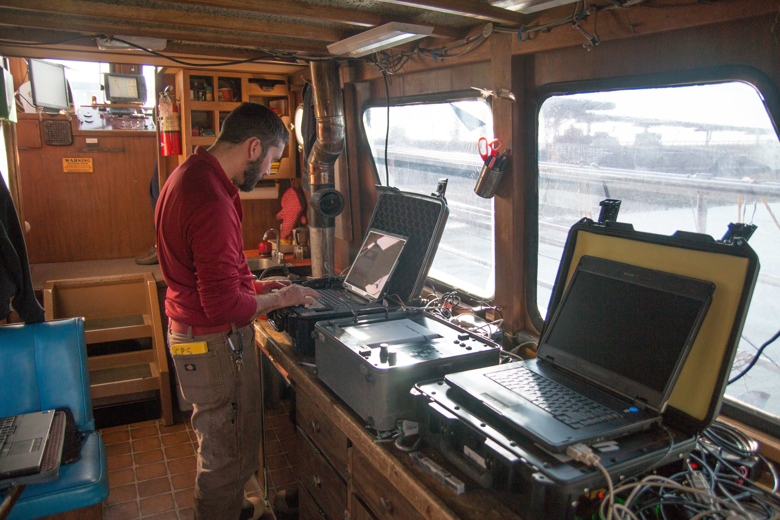
The Prudhoe Bay region requires precise bathymetric survey data to plan the construction of offshore islands, support docking of large vessels in shallow nearshore waters, and monitor the sediment cover over subsea pipelines. Challenges to this work include frequent high winds and waves, ice formation and floe movements, and limited nearshore water depth. Since the mid-1980s, Coastal Frontiers has developed and perfected survey equipment and methods for efficient use in ice-infested Arctic waters.
Typical Needs
Barge routes
Pipeline routes and backfill monitoring
Island slope armor monitoring
Dock approaches
Ice gouge and strudel scour mapping and measurement
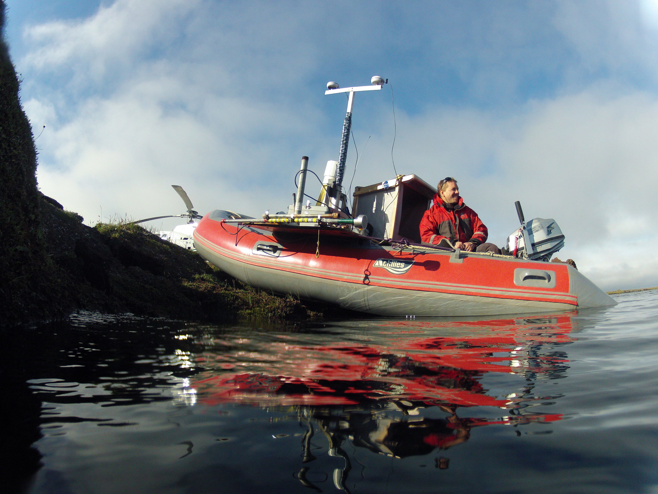
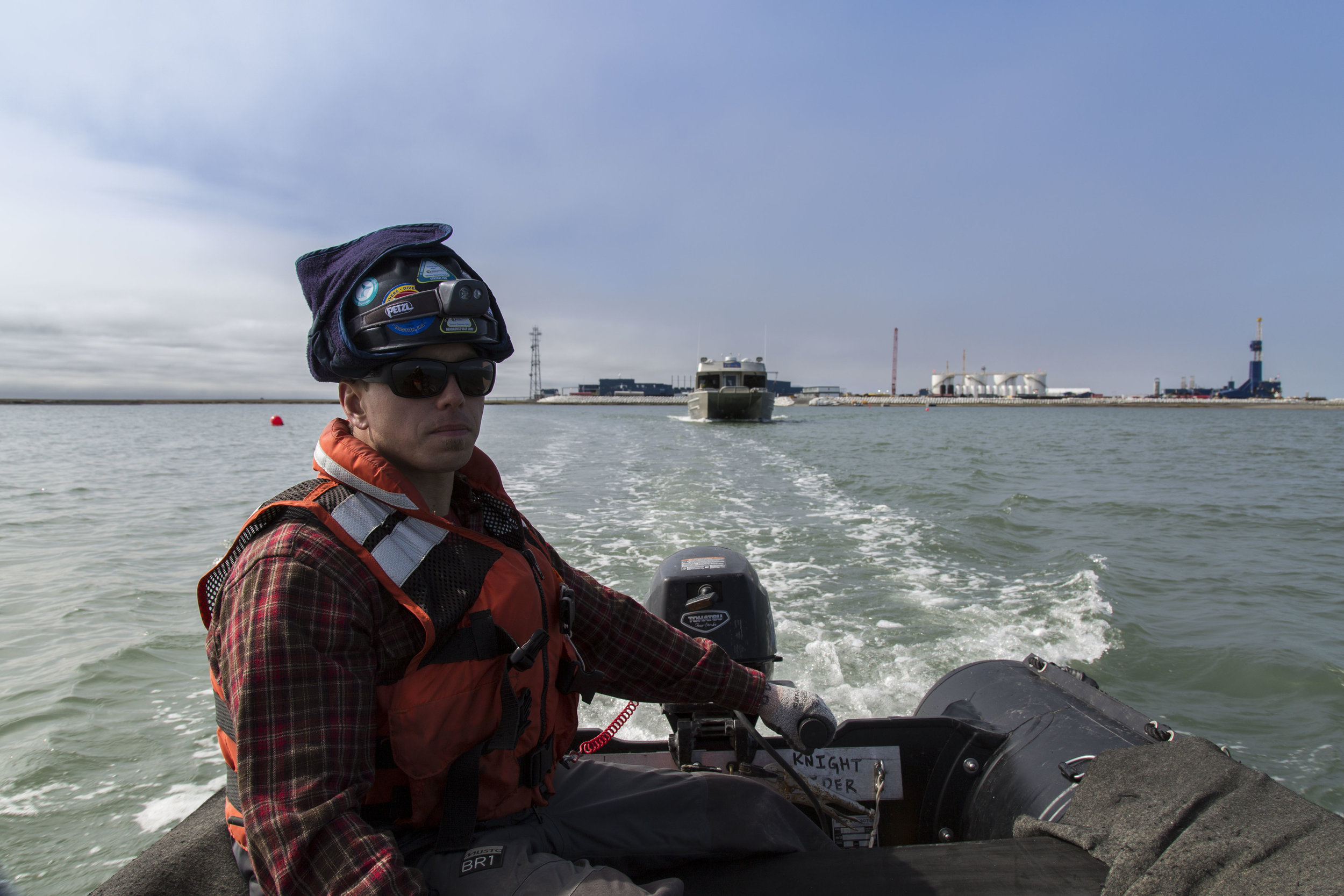
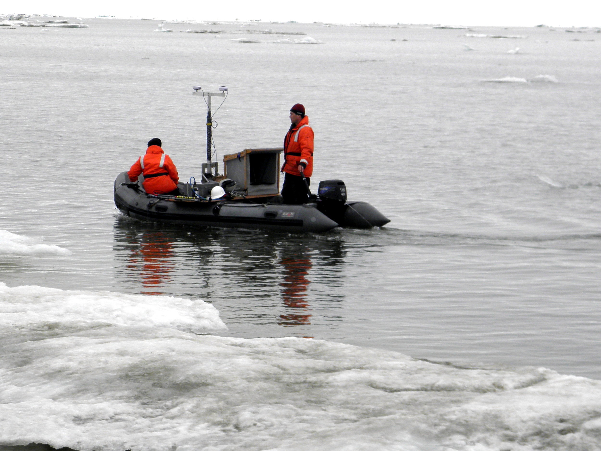
Work Platforms
Mid-winter ice sheet
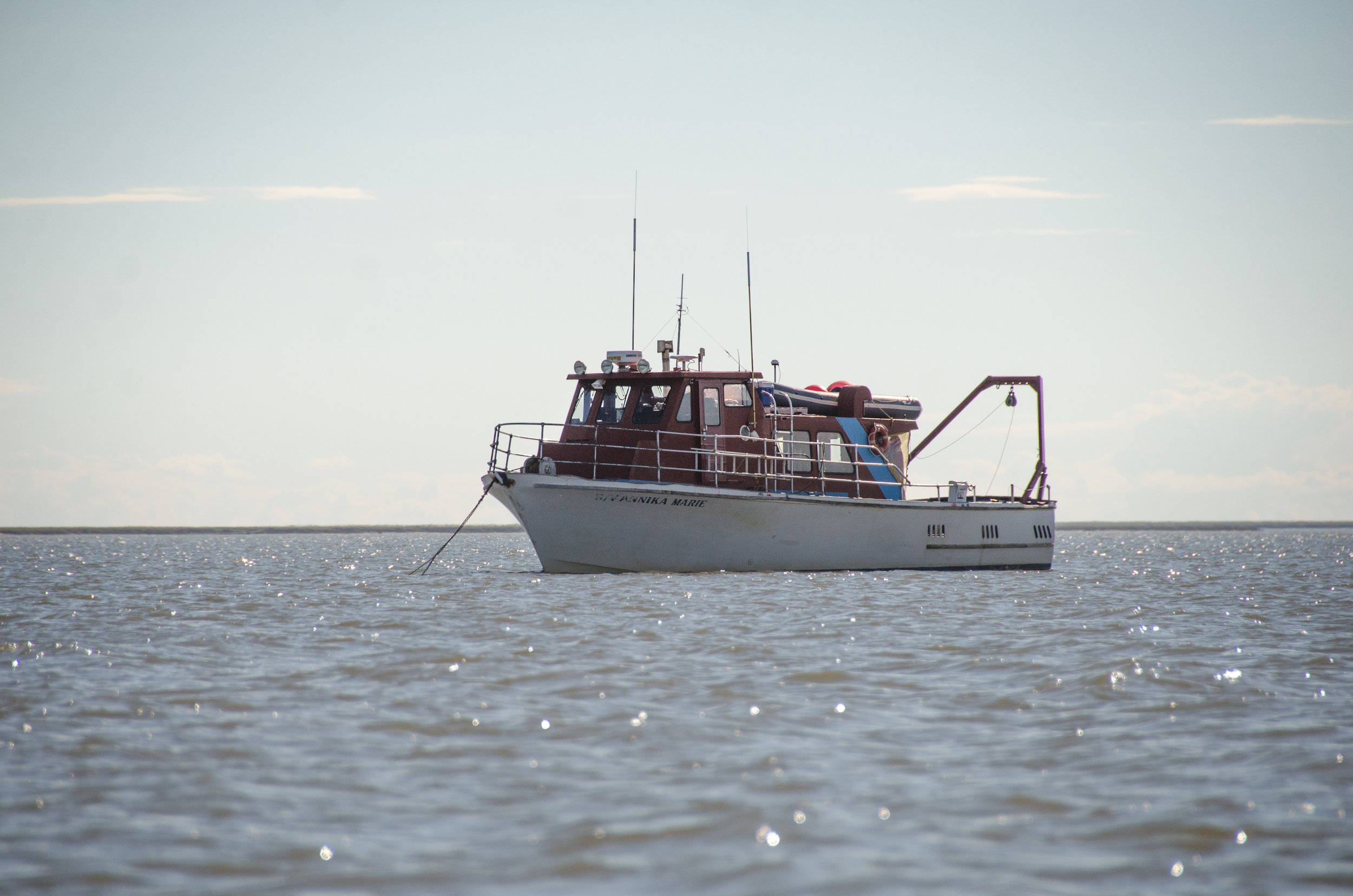
Large survey vessels with multi-beam sonar
Small inflatable vessels suitable for helicopter transport to remote sites